Been busy with my goldfish. The story will come later (I hope).
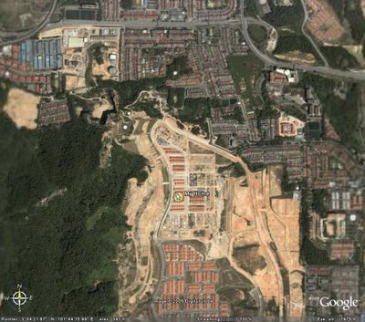
Well I am currently having fun using Google Earth. It's the software where you can locate any place on Earth (well almost any where). I managed to locate my home. Here the photo of it.
 I am terribly terrified by the details of the picture. The coordinates can be easily obtained and just imagine that the coordinates can be loaded into a missile. Bullseye.. the missile can destroy house with a blink of an eye. But the picture was taken about two years ago. How do I know? Well the surrounding areas around my house has been fully developed now. I had stayed in this house for 1 year. The semi-Ds located before my were not built yet, today all the semi-Ds are completed and ready for occupancy.
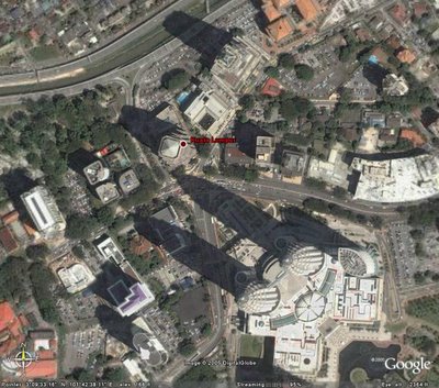
Another surprise was the "Kuala Lumpur" map indicator was dead centre at my office. Very very dangerous, missile also can be targeted at the building.
 In the end this shows how technological advance are the images taken with satellite.
Larger photos above are avaiable at my photo blog.

2 comments:
Can see a nice green lung near yr house. Hopefully, it won't fall prey to more development...
Hope not because that's Bukit Besi where the transmission station is located. Beside it is the Sg Besi Army Camy which include the Royal Millitary College.
Post a Comment